( Discontinued ) ( Go To "Bits Of Ethepthus" Instead ) Project Ethepthus

What is Project Ethepthus you may be wondering?
Project Ethepthus is my attempt at drawing the world for a series that I intend to write, titled
“A Mortal’s Ascendance”.

When did I start the project?
I started the project on 3/10/2021 and have been gradually working on it ever since.

Now that I got that out of the way lemme actually share it with ya.

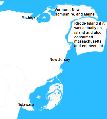
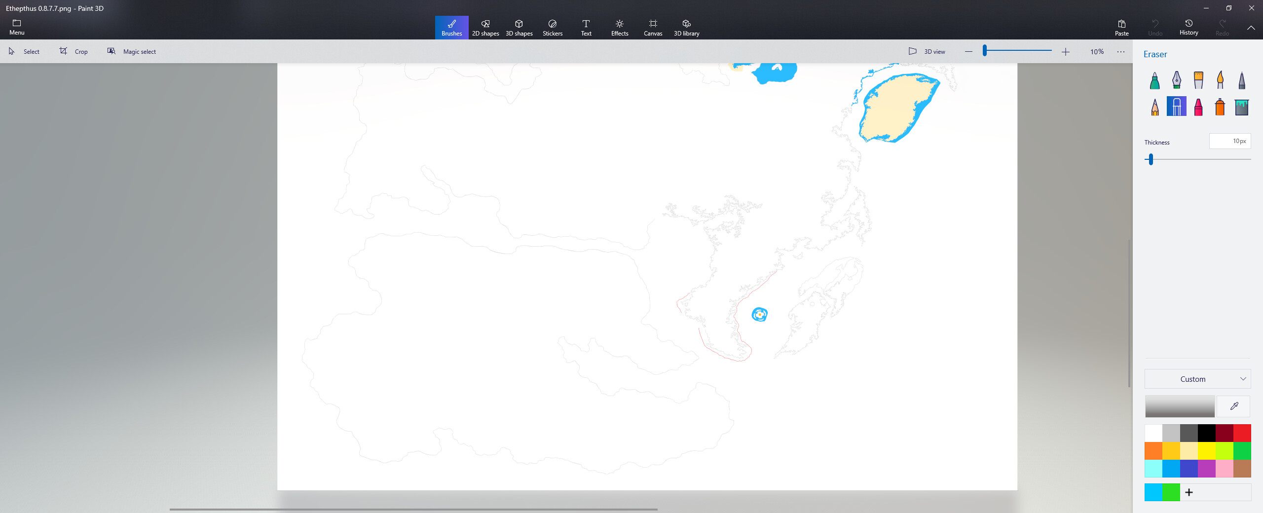
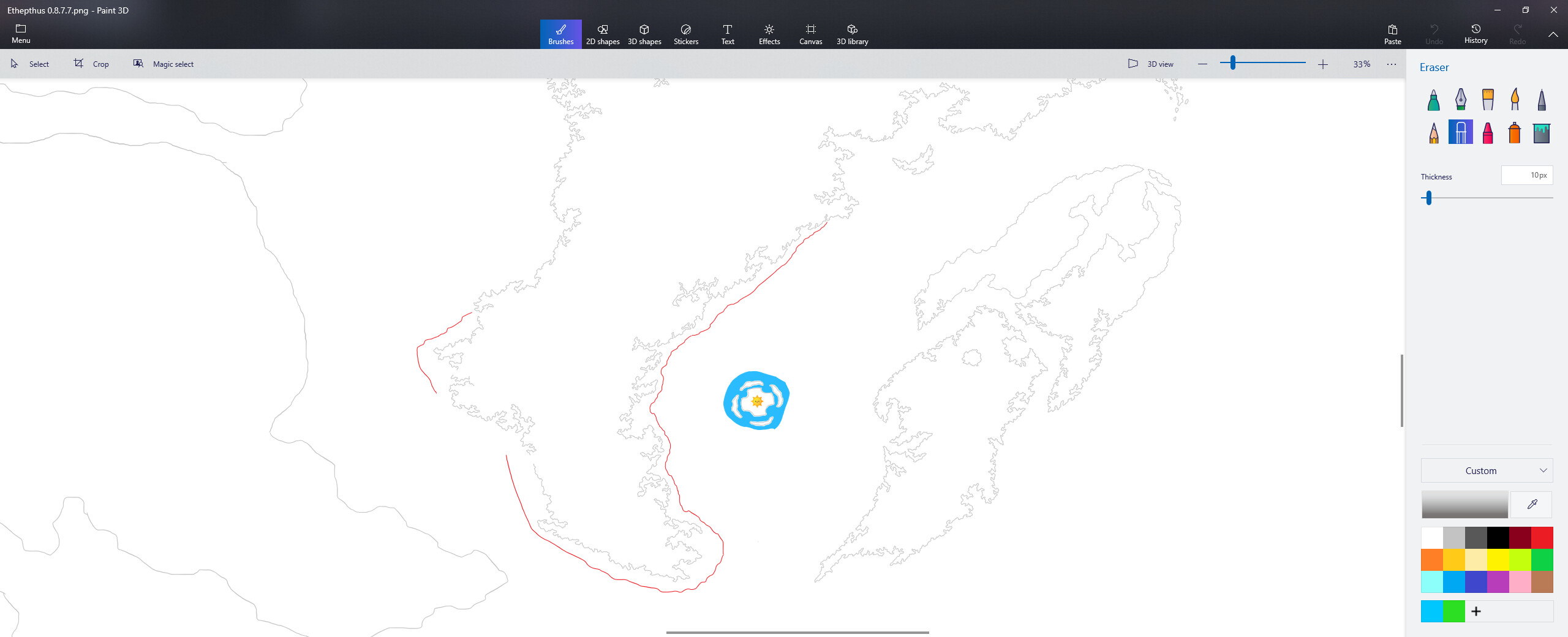
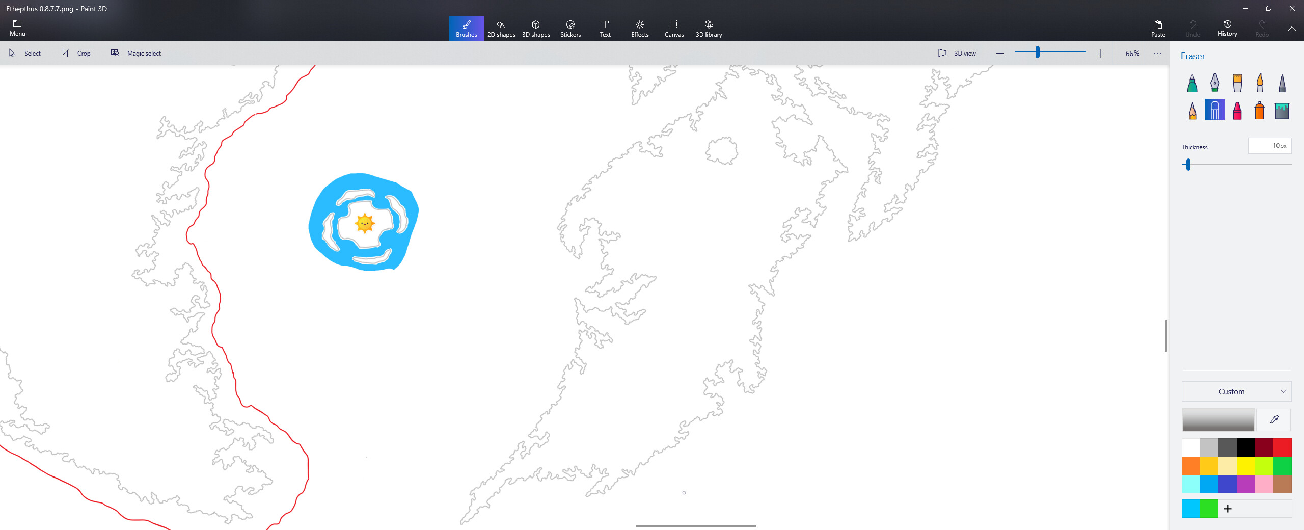
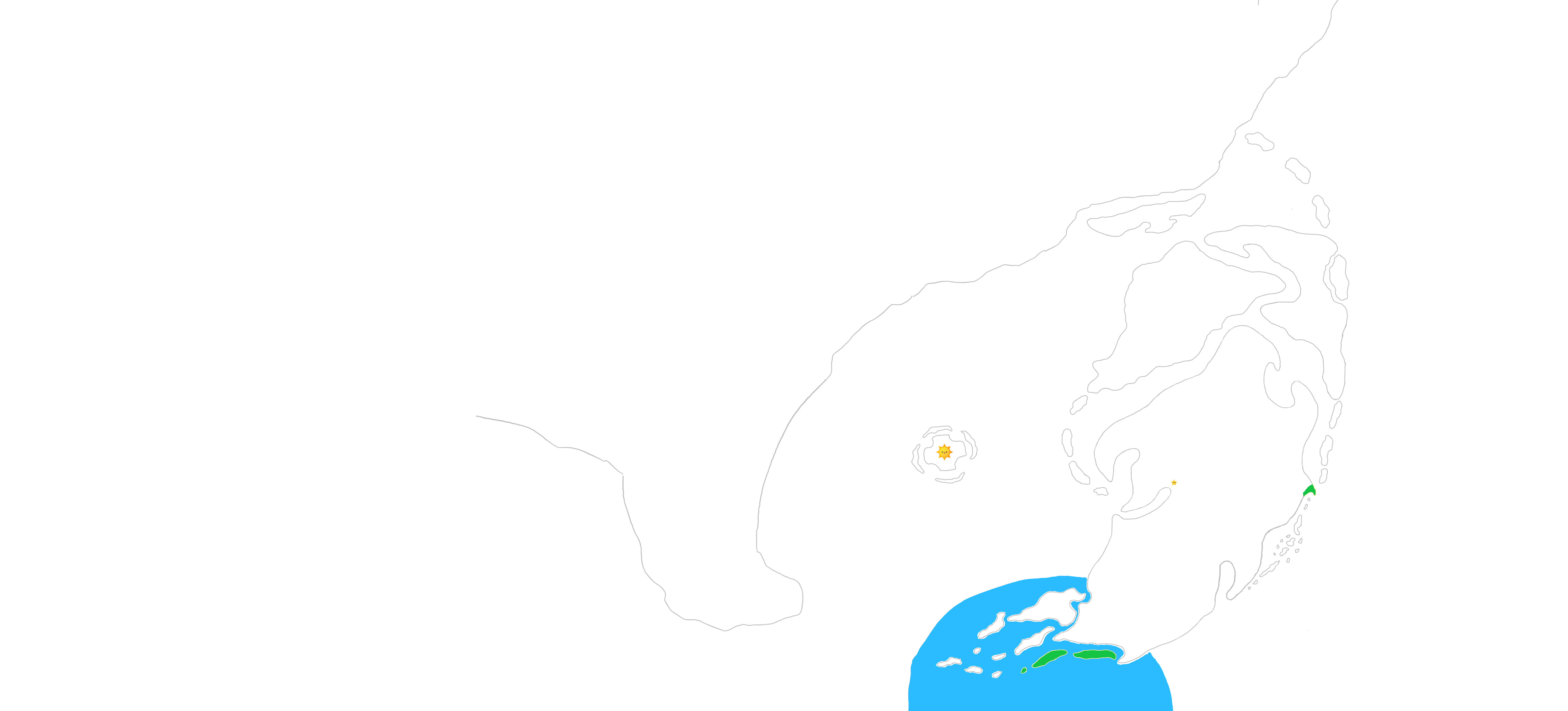
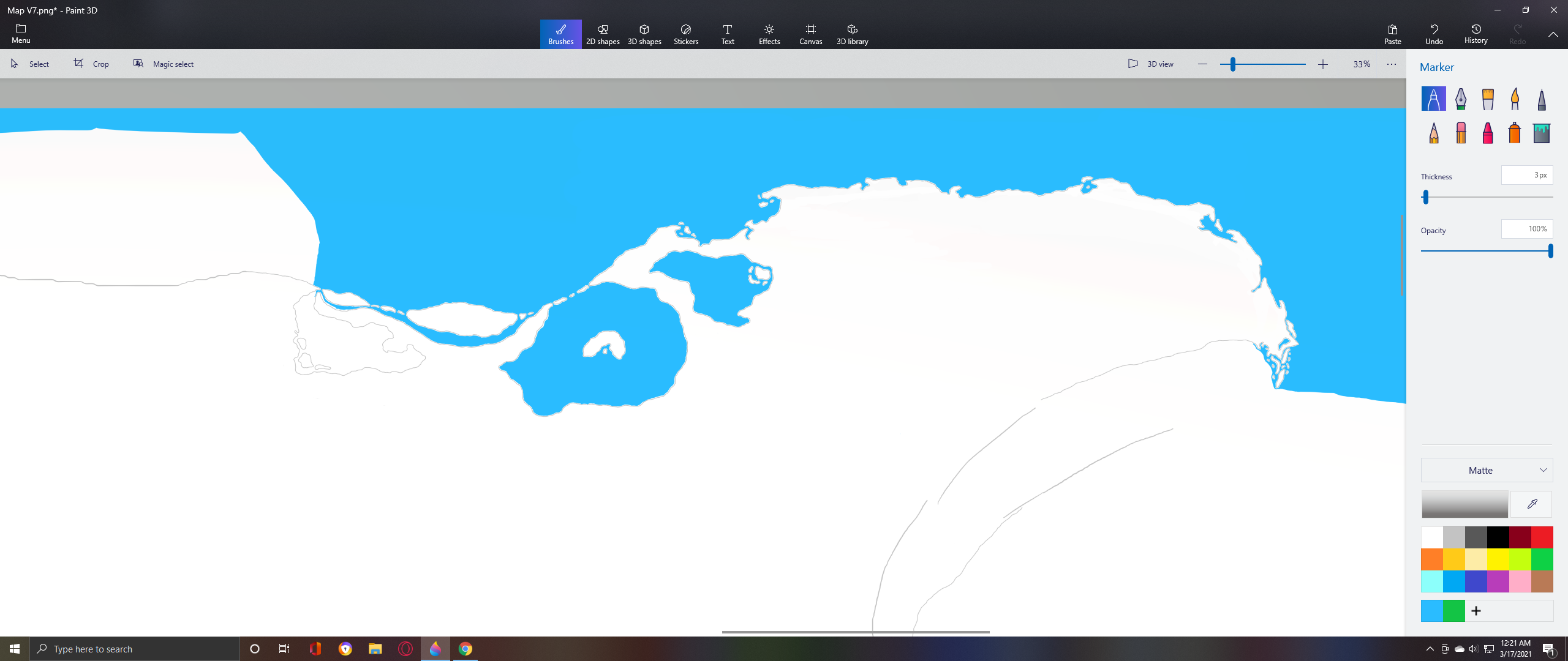
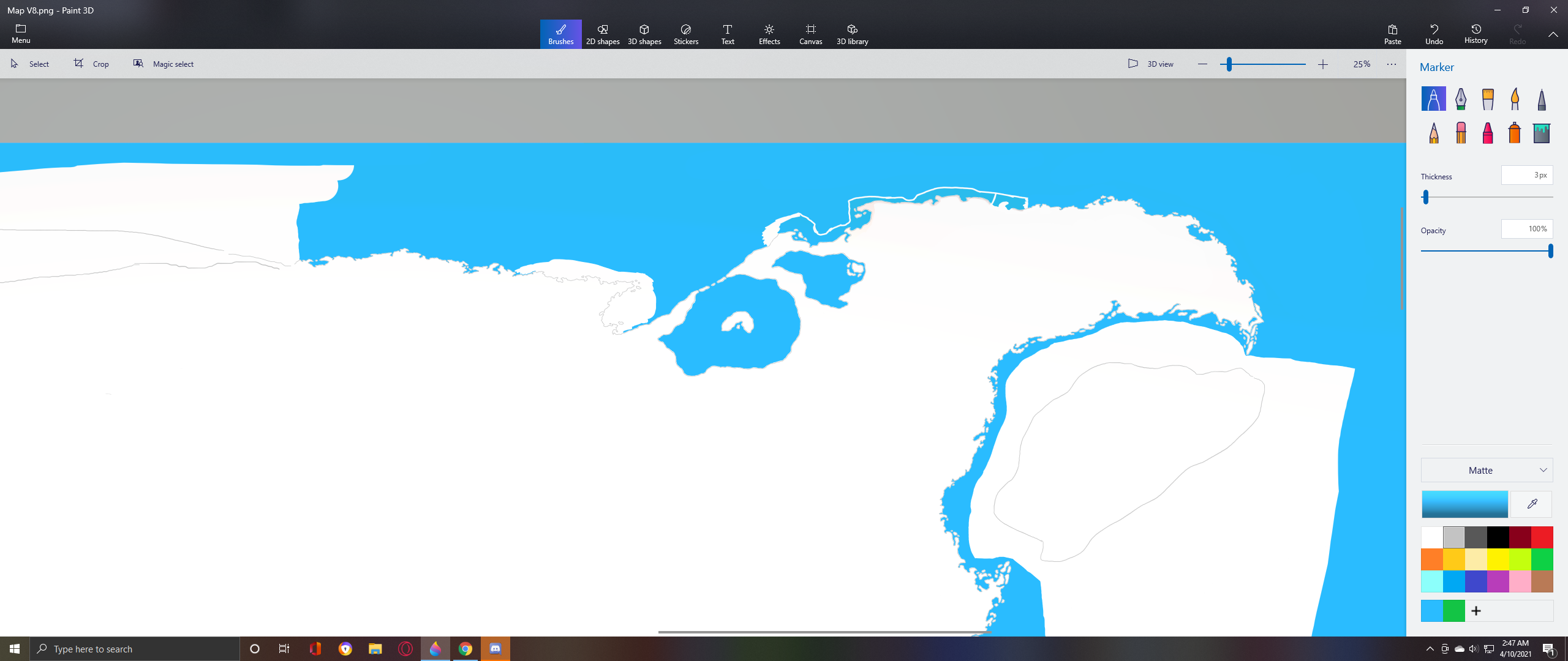
World View : ( map is 15,000 pixels wide, 10,000 pixels high, scale : 1 pixel = 1 km squared )

( 2nd image to include the bottom part. )

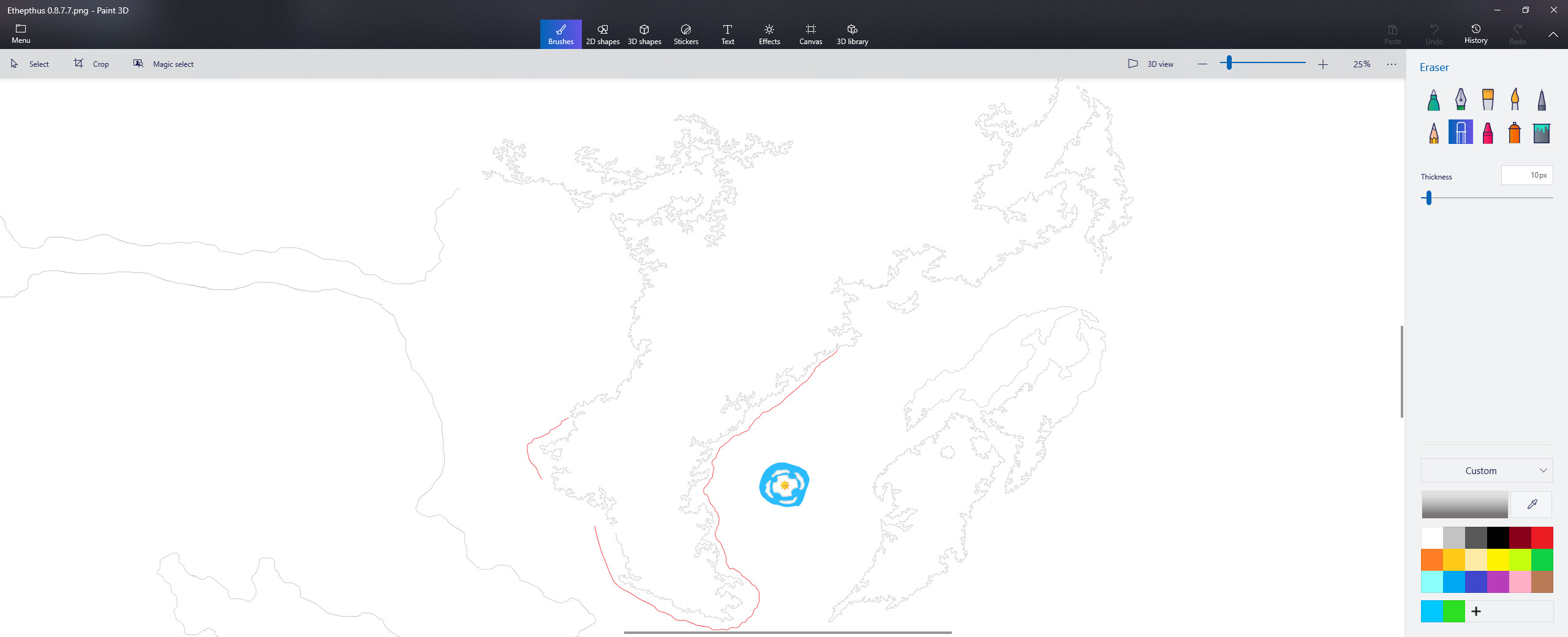
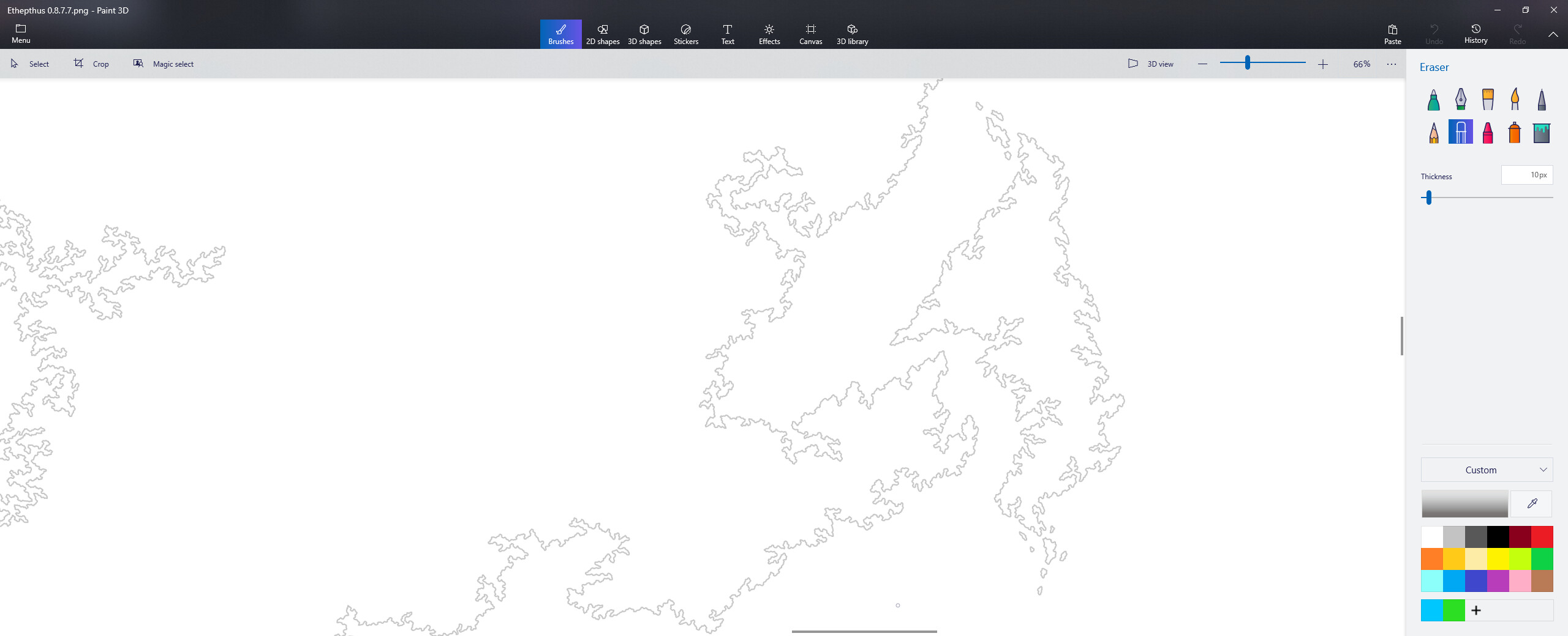
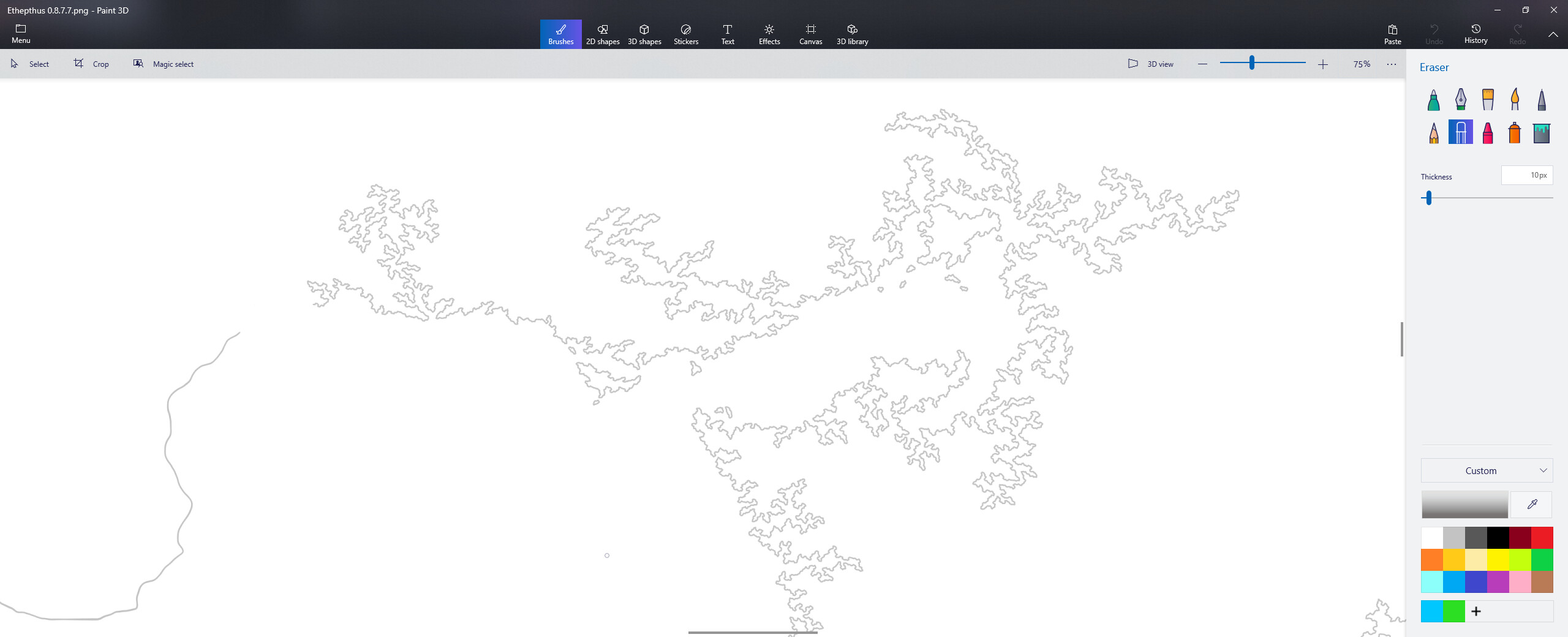
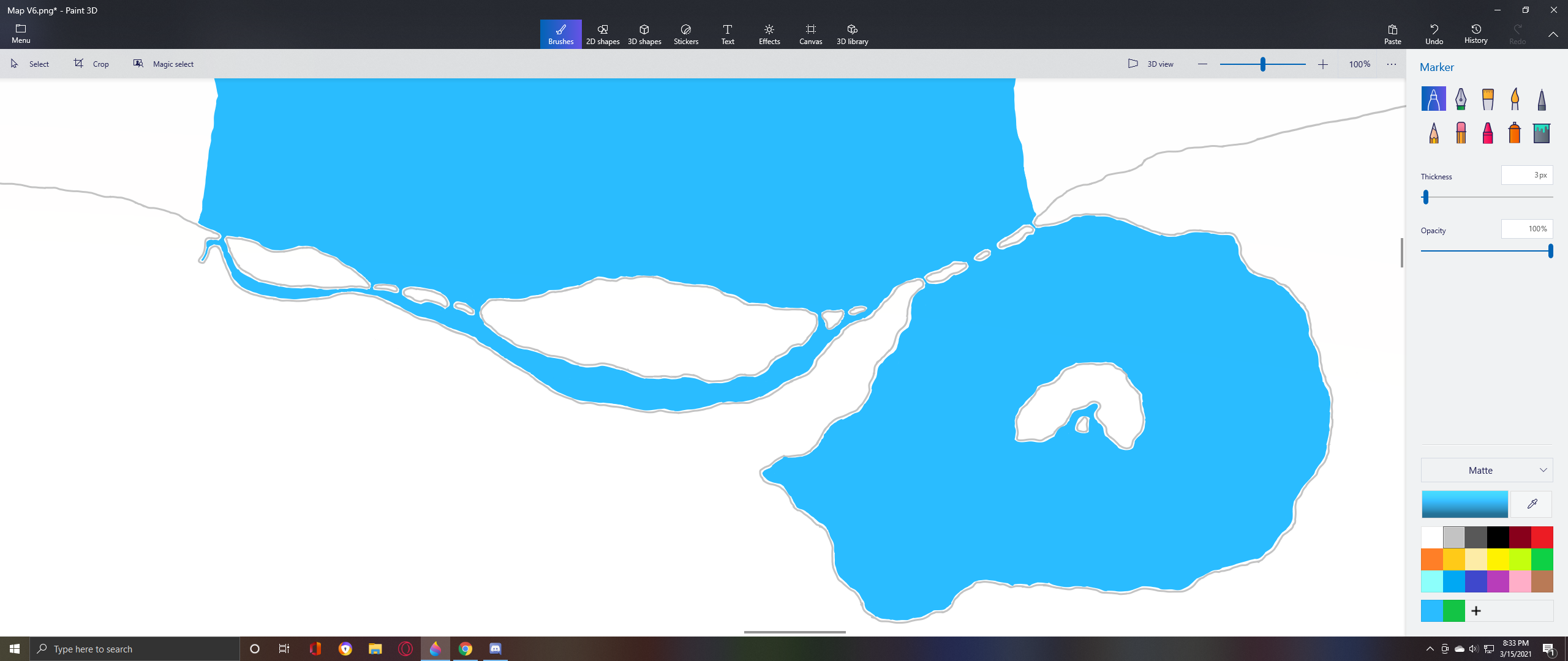
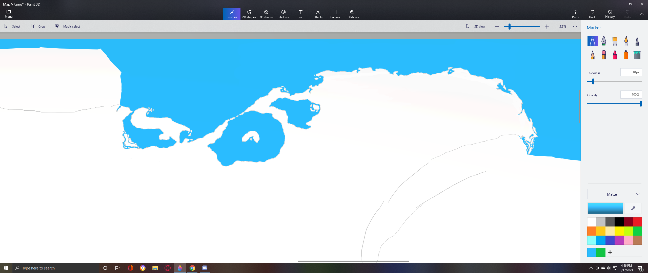
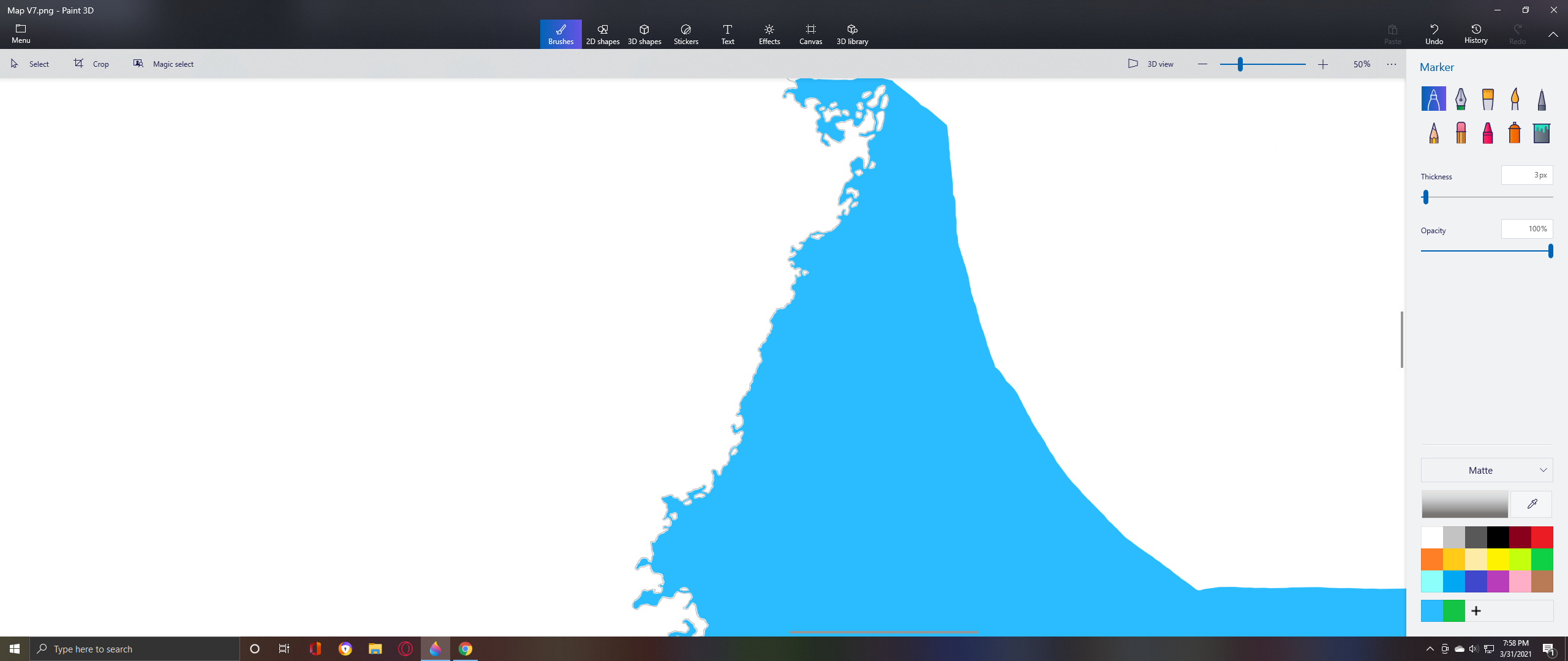
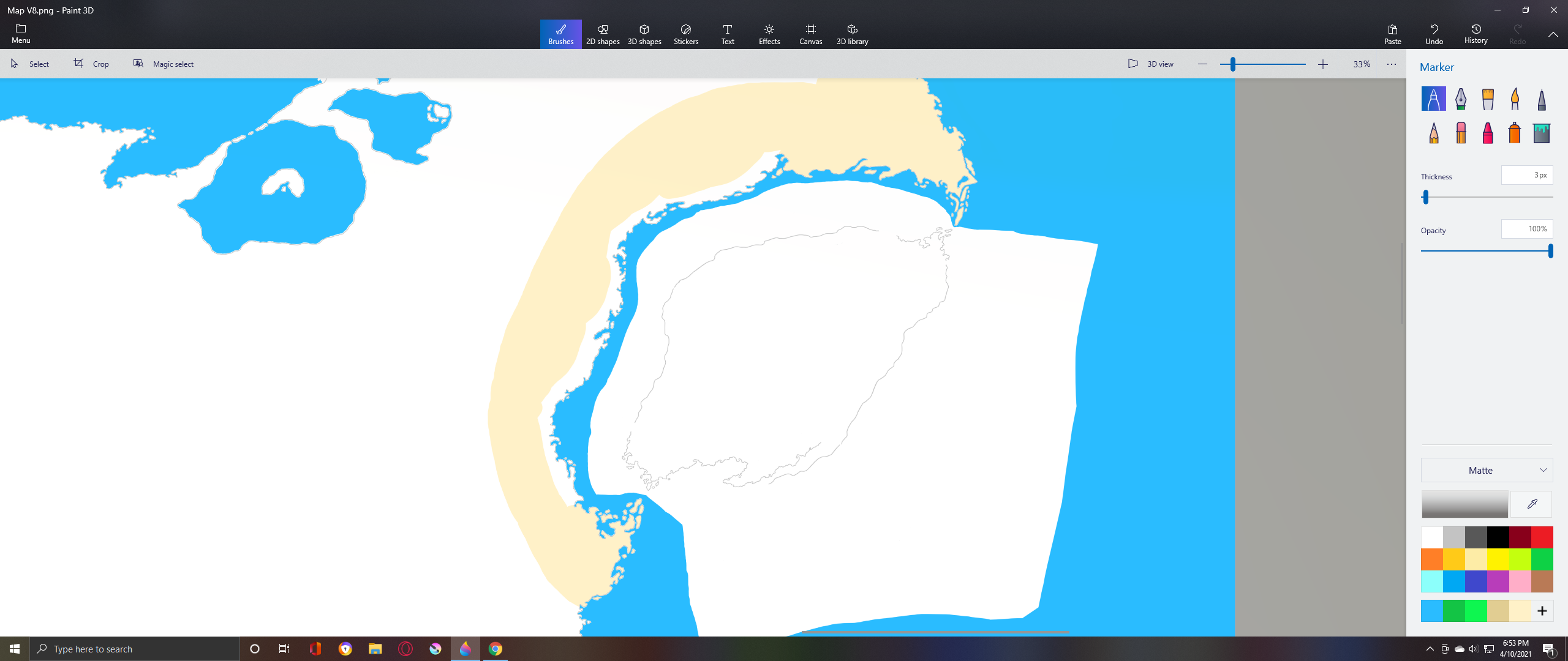
Zoomed in images of various parts :


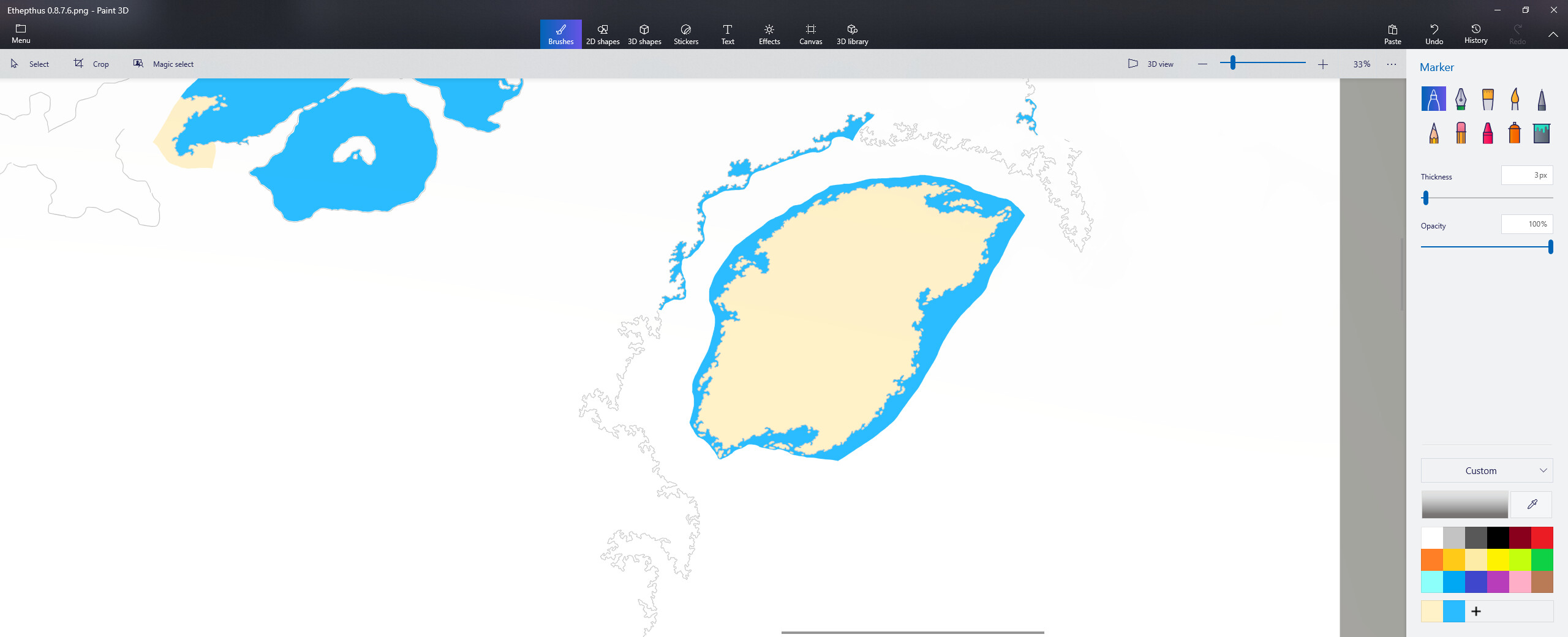
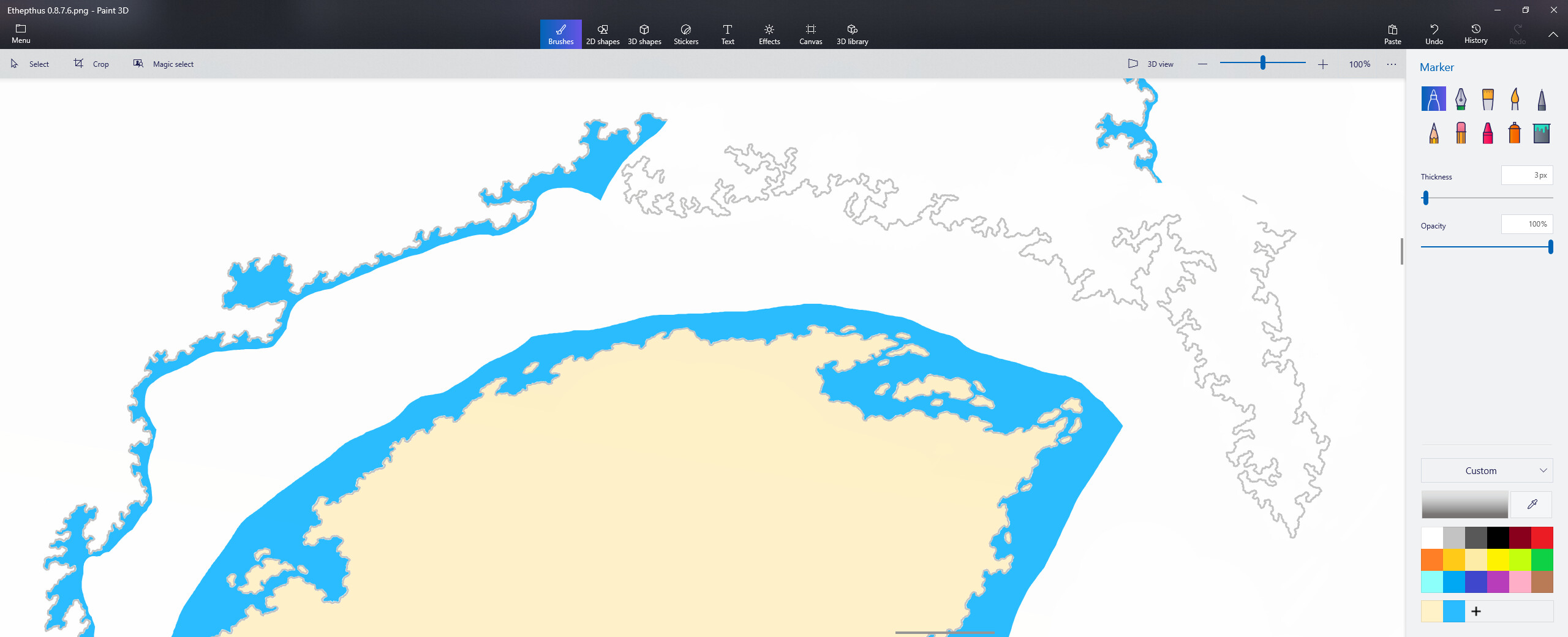
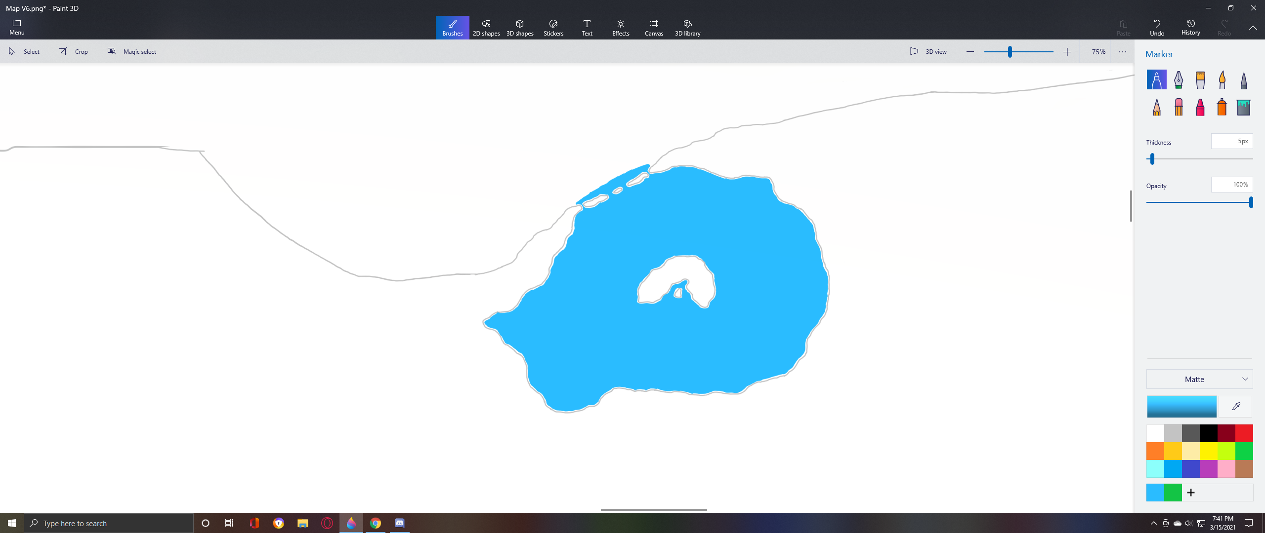
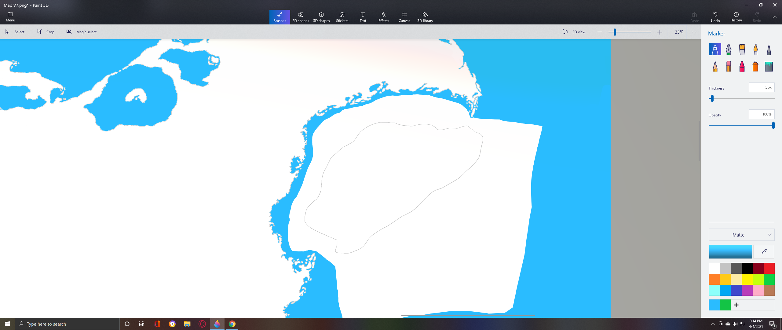
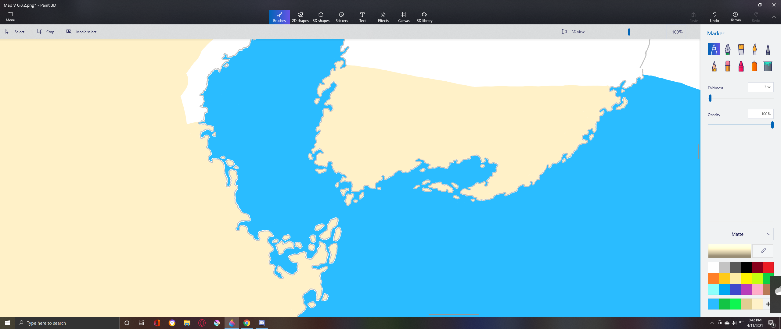
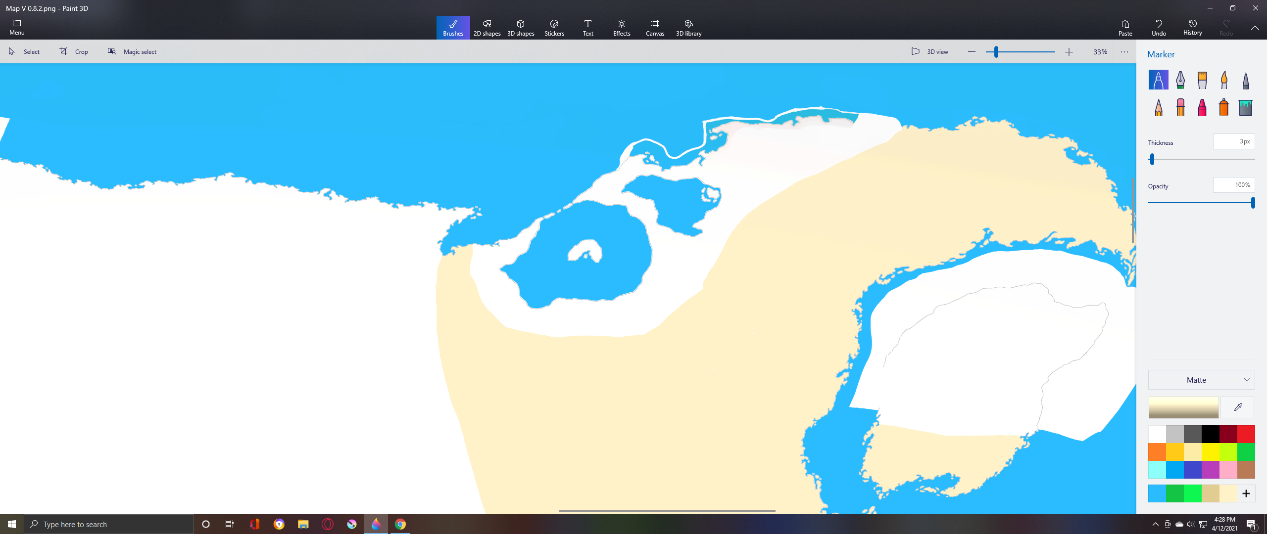
Colored In Edition :

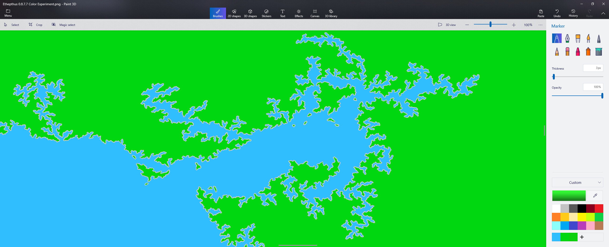
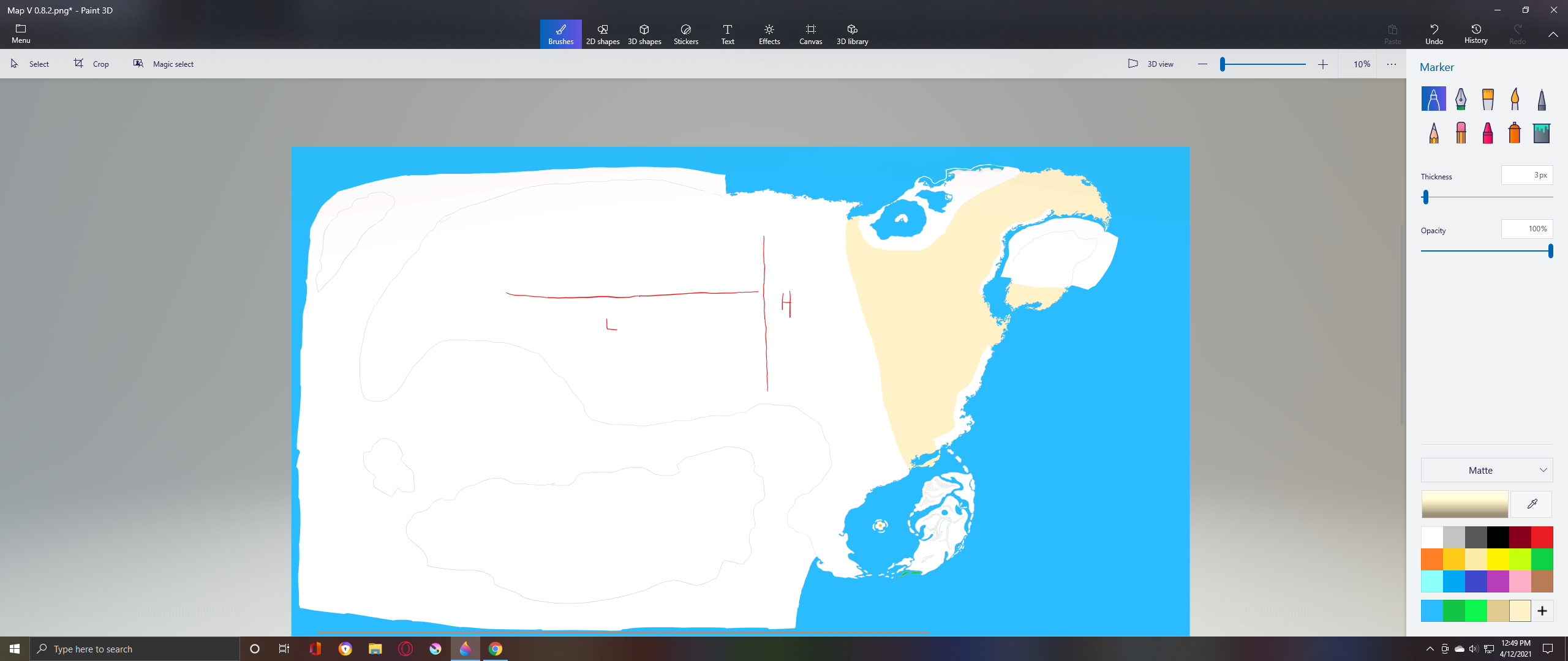
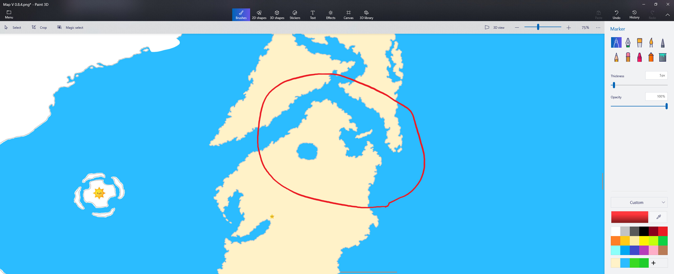
Do forgive the messiness of the map, I’m currently working on re drawing various parts of it to better match up with my current quality standards.

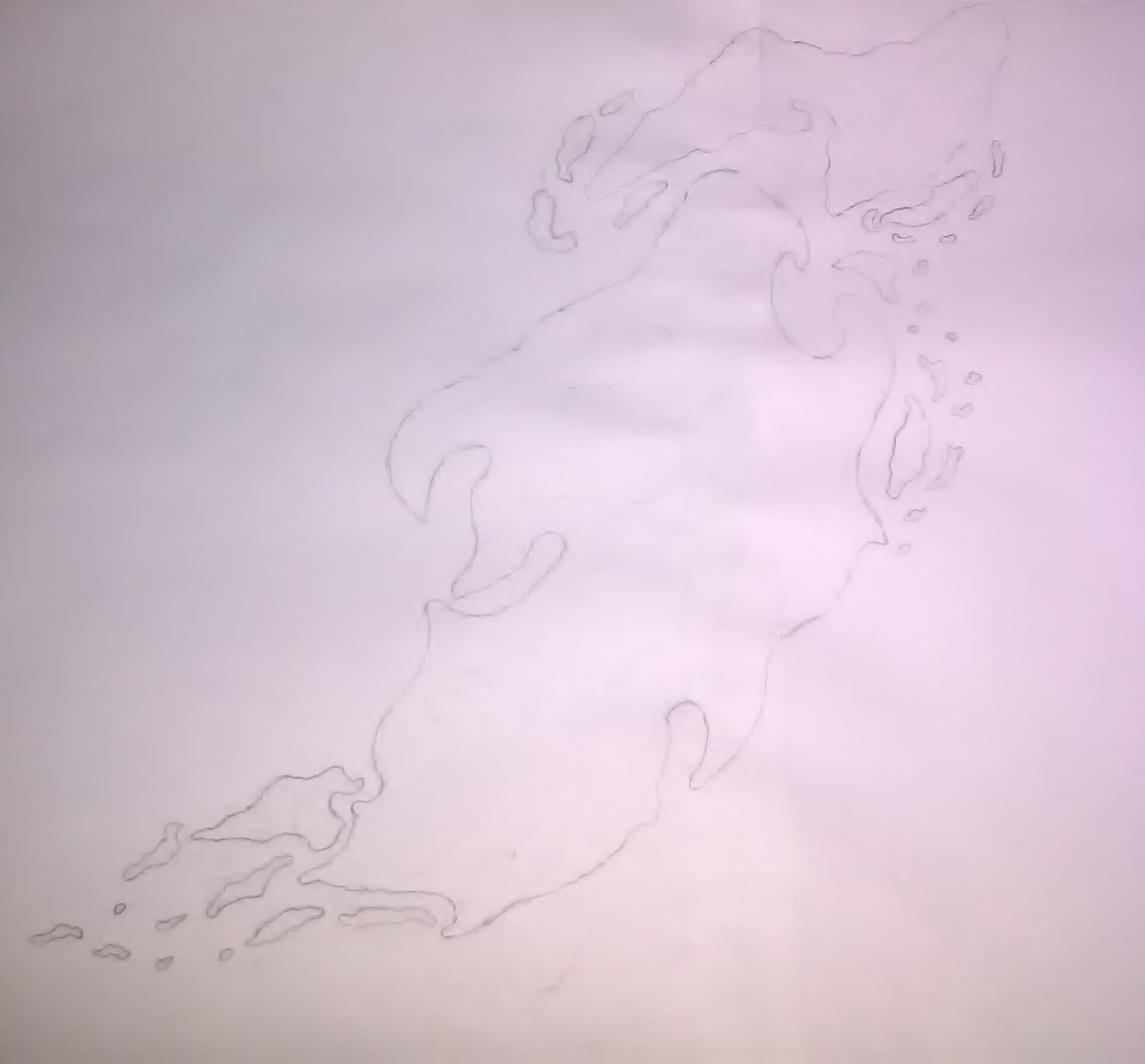
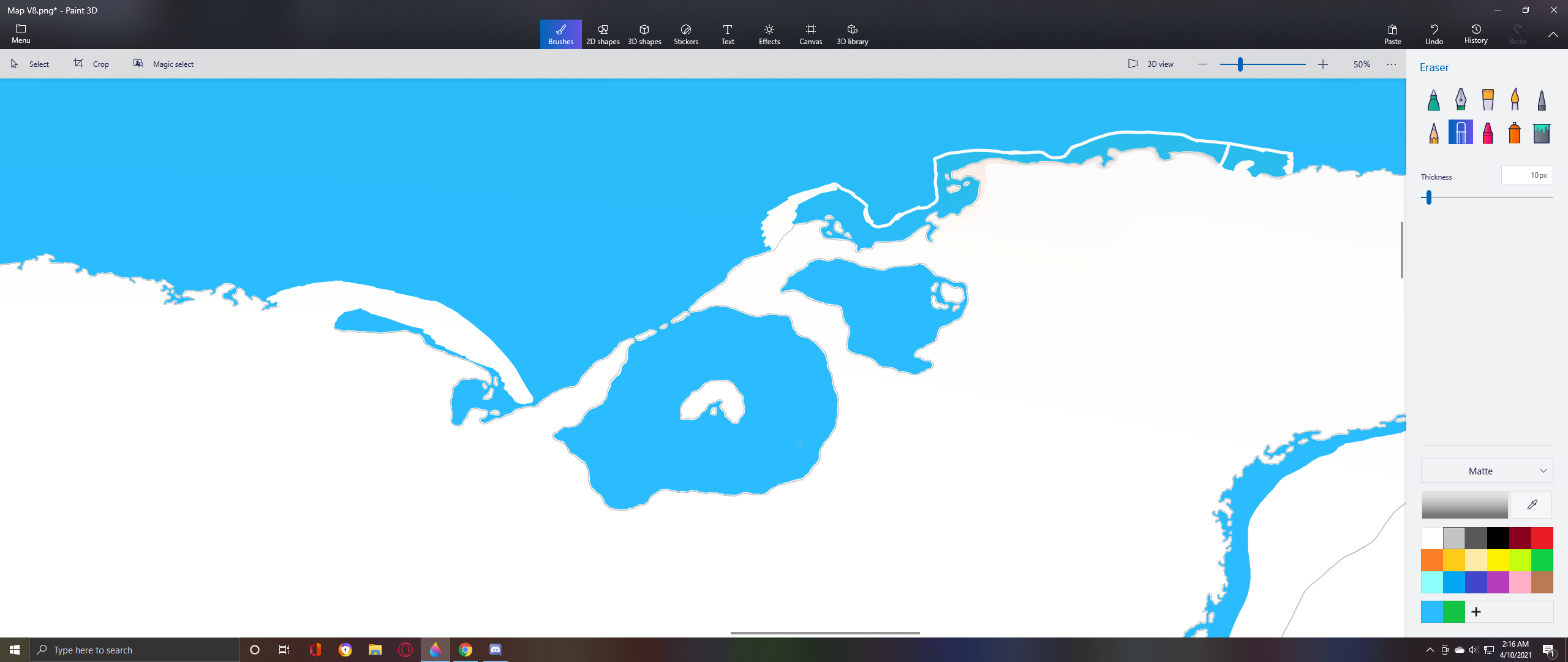
Speaking of which here’s a collection of past screen shots that i’ve taken of earlier versions.
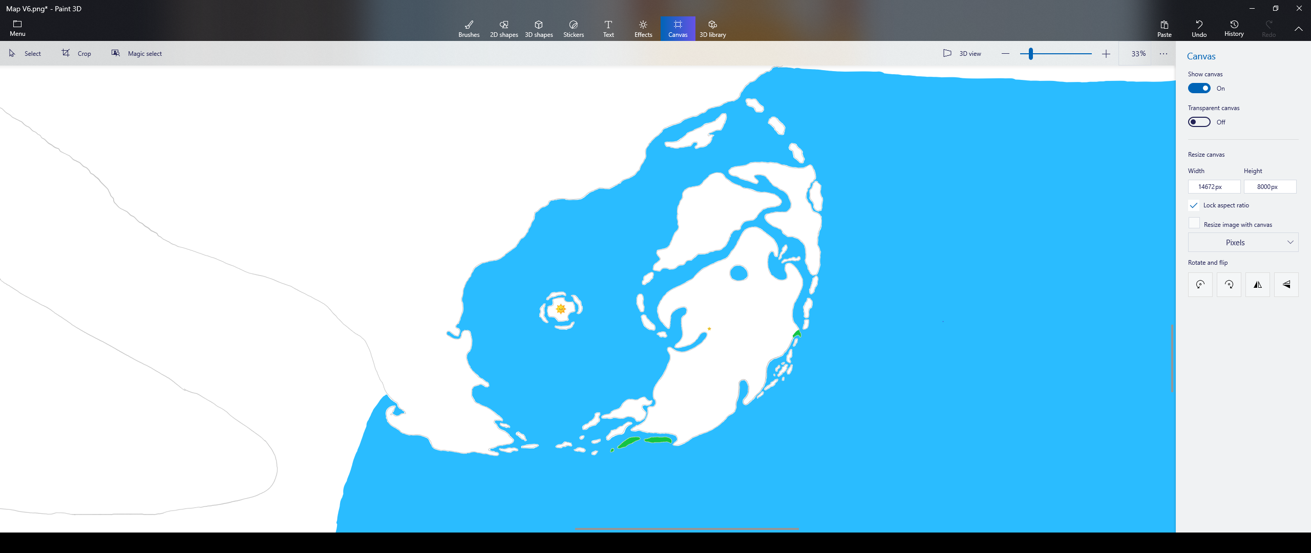
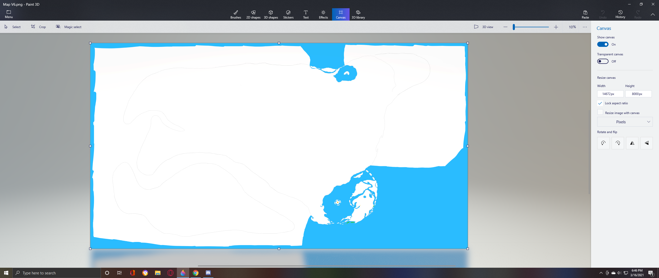
Older Images

Though before I get to them, lemme tell ya something that ya may find interesting.
I didn’t start this project in paint 3d.
I actually started it by drawing it physically but soon realized that It would be best to work on it digitally. So I took a shitty picture of it on my phone, sent it to discord, got a copy of it from discord and then started editing it in paint 3d.
Big brain move there aye?

Now let the nostalgia roll in!


I hope ya liked what ya saw, if ya did or have anything to say about it. Feel free to leave a reply down below.

Until I decide to update the post that shall be all!

Still here huh? The reply section is still quite a distance from here, so ya better get going.

12 Likes

its cool

wait but why are you doin’-

1 Like

I’ve tried making a map for a comic I’m working on and I’m impressed cuz I suck lmao

2 Likes

So umm, I really like the drawing but I suck a 2 color maps. Is the white water or is the blue water?

1 Like

the blue is indeed water.

Looks pretty poggers
:+1:

1 Like

Updated the post.

If the white was water I would be genuinely concerned.

1 Like

:sweat_smile:
Oh gods… just imagining what that would look like is enough to me a headache…

  • Worked on the map a bit more & as such updated the post.

Looks cool

1 Like

Why are you using paint 3D…

1 Like

I’m using it because

  1. I have next to no artistic experience
  2. It’s easy to use.
  3. Back to point 2. while I have looked into better software I don’t feel like learning how to use it lol.

I can kind of see that
image

1 Like

hmmmmmm I can kinda see it aswell but do note that the scaling actually looks like this :

L = A rough approximation of the horizontal distance of the continental US

H = A rough approximation of the vertical distance of the continental US

1 Like

Updated the post. 4/12/2021

  • And no the yellow bits aren’t sand, it’s just a vanity thing, to give the land a paper map feel.

Updated the post. 4/16/2021

  • Now that I have a better idea of what I’m doing, I’ve begun to redraw the entire coastline.
    ( other than the “shattered lands” that is, everything else will be redrawn. )

Update the post. 4/20/2021

  • mo redrawn areas

I used to draw maps when I was a kid and name the locations.

Too bad most of my childhood memories are me being a hollowhead.

1 Like

Updated the post. 6/8/2021

i see a face.

1 Like

referring to this?

1 Like